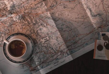
Historical maps provide invaluable insights into the past, revealing changing landscapes, borders, and urban developments. To preserve these significant documents and make them more accessible to a wider audience, converting them into digital formats has become a common practice. The process of converting historical maps to digital format involves a series of steps that require precision and attention to detail. In this article, we will explore the methods and techniques used to transform these historical treasures into digital assets.
Digitizing Historical Maps
Digitizing historical maps is a meticulous process that involves scanning the original paper maps to create digital images. High-resolution scanners are used to capture the intricate details of the maps, ensuring that every line, symbol, and annotation is accurately reproduced in digital form. The use of specialized scanning equipment is essential to capture the fine details of the maps without compromising their quality.
Georeferencing
One of the key steps in converting historical maps to digital format is georeferencing. Georeferencing involves aligning the scanned map with geographic coordinates so that it can be overlaid on modern mapping systems. This process is crucial for accurately positioning the historical map in its real-world context and enabling users to compare it with current geographical data.
Vectorization
After the map has been scanned and georeferenced, the next step is vectorization. Vectorization involves tracing the scanned map to create digital vector files that can be edited and manipulated. This process allows for the creation of scalable and editable digital versions of the historical map, making it easier to analyze and interpret the information it contains.
Data Annotation
Once the map has been digitized and vectorized, the next step is data annotation. Data annotation involves adding metadata to the digital map, such as historical information, map title, date of creation, and any other relevant details. This metadata helps users understand the context and significance of the historical map, providing valuable insights into the time period it represents.
Enhancement and Restoration
In some cases, historical maps may be damaged or faded due to age and wear. To ensure that the digital version accurately reflects the original map, enhancement and restoration techniques may be applied. These techniques involve using digital tools to clean up imperfections, enhance colors, and improve overall clarity, resulting in a digital map that closely resembles the original document.
Interactive Features
In addition to creating digital replicas of historical maps, many organizations also incorporate interactive features to enhance user experience. These features may include zooming capabilities, overlaying historical maps on modern satellite imagery, and providing tools for measuring distances and areas on the map. By adding interactive elements, users can engage more deeply with the historical maps and explore them in a dynamic and interactive way.
Accessibility and Preservation
Converting historical maps to digital format not only makes them more accessible to researchers, historians, and the general public but also helps preserve these valuable documents for future generations. Digital versions of historical maps can be easily shared, archived, and reproduced without risking damage to the original paper maps. By digitizing historical maps, organizations ensure that these important cultural artifacts are preserved and can be enjoyed by people around the world.
In conclusion,
The conversion of historical maps to digital format is a complex yet rewarding process that enables us to unlock the secrets of the past and gain a deeper understanding of our history. By combining advanced technologies with careful preservation techniques, organizations can ensure that these invaluable resources are not lost to time. Digital historical maps open up a world of possibilities for research, education, and exploration, allowing us to connect with the past in new and exciting ways.


