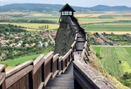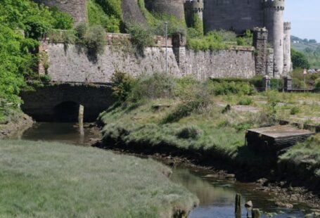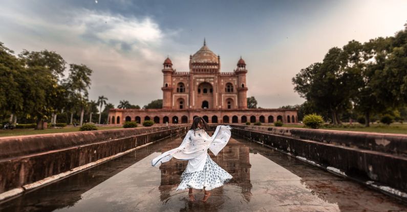
Cultural landscapes are a reflection of the interactions between human societies and the environment over time. They encompass a wide range of physical and intangible elements, including buildings, monuments, traditions, and beliefs. Mapping cultural landscapes is a crucial aspect of heritage conservation and management, as it helps to identify, assess, and protect these unique and valuable resources. In this article, we will explore the various techniques used for mapping cultural landscapes.
Understanding the Importance of Cultural Landscape Mapping
Before delving into the specific techniques used for mapping cultural landscapes, it is essential to understand why this process is significant. Cultural landscapes play a vital role in shaping our identities, fostering a sense of belonging, and connecting us to our past. By mapping these landscapes, we can document their diversity, complexity, and historical significance, helping to ensure their preservation for future generations. Mapping cultural landscapes also aids in heritage management, urban planning, and tourism development, contributing to sustainable development and fostering cultural exchange.
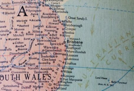
Remote Sensing and Aerial Photography
Remote sensing and aerial photography are powerful tools for mapping cultural landscapes from a bird’s eye view. These techniques involve the use of satellite imagery, aerial photographs, and drones to capture detailed information about the landscape’s physical features, land use patterns, and spatial relationships. Remote sensing can provide valuable insights into the distribution of archaeological sites, historical settlements, and cultural heritage sites, helping researchers to understand the evolution of cultural landscapes over time. Aerial photography, on the other hand, allows for the creation of high-resolution maps that reveal intricate details of cultural features such as buildings, roads, and agricultural terraces.
Geographic Information Systems (GIS)
GIS technology is widely used in mapping cultural landscapes due to its ability to integrate, analyze, and visualize spatial data. GIS enables researchers to overlay different layers of information, such as topography, land use, and historical maps, to create comprehensive maps of cultural landscapes. By using GIS, experts can identify patterns, trends, and relationships within cultural landscapes, facilitating informed decision-making in heritage conservation and management. GIS can also be used to create interactive maps that engage the public and raise awareness about the cultural significance of landscapes.
Participatory Mapping
Participatory mapping is an inclusive approach that involves local communities in the mapping process, allowing them to contribute their knowledge, experiences, and perspectives. This technique recognizes the importance of community engagement in heritage conservation and management, as local residents often possess valuable insights into the cultural significance of their landscapes. Participatory mapping not only enhances the accuracy and comprehensiveness of cultural landscape maps but also fosters a sense of ownership and stewardship among community members. By involving diverse stakeholders in the mapping process, participatory mapping promotes cultural diversity, social inclusion, and sustainable development.
Landscape Character Assessment
Landscape character assessment is a methodological approach that aims to understand and evaluate the distinctive qualities of cultural landscapes. This technique involves identifying and analyzing the physical, historical, and cultural attributes that contribute to the character of a landscape. By conducting a landscape character assessment, researchers can gain a deeper understanding of the values, meanings, and functions associated with cultural landscapes, informing conservation strategies and planning decisions. Landscape character assessment helps to identify areas of significance, vulnerability, and potential conflict within cultural landscapes, guiding efforts to balance conservation with development needs.
Conclusion: Embracing Diverse Techniques for Mapping Cultural Landscapes
Mapping cultural landscapes is a multifaceted and dynamic process that requires the integration of diverse techniques, methodologies, and perspectives. By combining remote sensing, GIS, participatory mapping, and landscape character assessment, researchers can create comprehensive and nuanced maps that capture the complexity and richness of cultural landscapes. These maps serve as valuable tools for heritage conservation, urban planning, tourism development, and community engagement, fostering a deeper appreciation for the cultural diversity and heritage of our landscapes. Embracing a variety of mapping techniques allows us to celebrate the uniqueness and resilience of cultural landscapes, ensuring their preservation and promotion for generations to come.