Field sketching is a fundamental skill for cartographers, enabling them to capture essential details of a particular area directly on-site. The ability to create accurate and detailed sketches in the field is crucial for producing high-quality maps. Cartographers use various techniques to ensure their field sketches are precise and informative. In this article, we will explore the main techniques of field sketching for cartographers.
Understanding Scale and Proportion
One of the key techniques in field sketching for cartographers is understanding scale and proportion. When creating a field sketch, it is essential to accurately represent the relative sizes of objects and features in the area being mapped. Cartographers must carefully consider the scale of their sketch to ensure that it accurately reflects the true dimensions of the landscape. Paying attention to scale and proportion helps to maintain the overall accuracy of the map being produced.
Observational Skills and Attention to Detail
Observational skills and attention to detail are critical for cartographers engaged in field sketching. Cartographers must carefully observe and analyze the features of the landscape they are mapping to accurately represent them in their sketches. Paying attention to details such as the shapes of landforms, the arrangement of vegetation, and the presence of man-made structures is essential for creating informative and accurate field sketches. Developing strong observational skills allows cartographers to capture the nuances of the terrain more effectively.
Utilizing Different Drawing Techniques
Cartographers employ a variety of drawing techniques to create detailed and accurate field sketches. Techniques such as hatching, cross-hatching, stippling, and contour drawing are commonly used to represent different features in the landscape. Hatching and cross-hatching are effective for depicting shadows and textures, while stippling can be used to show areas of dense vegetation or rough terrain. Contour drawing is particularly useful for representing the three-dimensional nature of the landscape, such as hills and valleys.
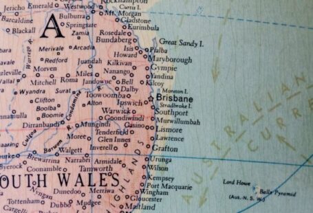
Creating Sketch Maps
Sketch maps are rough, hand-drawn representations of an area that provide an overview of its key features. Cartographers often start by creating a sketch map of the area they are mapping before adding more detailed sketches of specific features. Sketch maps help cartographers plan their field sketches and ensure they capture all relevant information. By creating a sketch map, cartographers can establish a framework for their field sketches and ensure they cover all essential elements of the landscape.
Using Grids and Scales
Grids and scales are valuable tools for cartographers engaged in field sketching. Using a grid system helps cartographers organize their sketches and ensure they accurately represent the spatial relationships between different features. Grids can also aid in maintaining scale and proportion throughout the sketching process. Scales, both graphical and verbal, are essential for indicating distances on the sketch and providing a reference for the map reader. Incorporating grids and scales into field sketches enhances their accuracy and usability.
Adapting to Environmental Conditions
Cartographers must be adaptable and resourceful when conducting field sketching, as environmental conditions can vary significantly. Weather conditions, lighting, terrain, and vegetation cover can all impact the quality of field sketches. Cartographers need to adjust their techniques and approaches to accommodate these factors and ensure the accuracy of their sketches. Adapting to environmental conditions may involve changing drawing techniques, altering the scale of the sketch, or revisiting the site at different times of day.
Incorporating Annotations and Labels
Annotations and labels play a crucial role in field sketches, providing additional information and context for the features being represented. Cartographers often include annotations to indicate the names of geographical features, provide descriptions, or highlight important details. Labels help orient the map reader and enhance the overall readability of the sketch. By incorporating annotations and labels, cartographers can make their field sketches more informative and user-friendly.
Iterative Sketching and Revision
Field sketching is an iterative process that often involves multiple rounds of sketching and revision. Cartographers may need to revisit the site several times to capture all relevant details accurately. Revising sketches based on feedback, new observations, or additional information is essential for ensuring the accuracy and completeness of the final map. Iterative sketching allows cartographers to refine their sketches over time and produce high-quality maps that meet the required standards.
Embracing Creativity and Artistry
While field sketching requires precision and accuracy, cartographers can also benefit from embracing creativity and artistry in their work. Incorporating artistic elements such as shading, textures, and stylized symbols can enhance the visual appeal of field sketches and make them more engaging for map readers. By combining technical skill with creativity, cartographers can create field sketches that are not only informative but also aesthetically pleasing.
In conclusion, field sketching is an essential skill for cartographers, enabling them to capture detailed and accurate representations of the landscape directly on-site. By utilizing techniques such as understanding scale and proportion, observational skills, different drawing techniques, creating sketch maps, using grids and scales, adapting to environmental conditions, incorporating annotations and labels, iterative sketching and revision, and embracing creativity and artistry, cartographers can produce high-quality field sketches that form the basis of informative and visually appealing maps. Mastering these techniques is crucial for cartographers seeking to create maps that accurately depict the world around us.