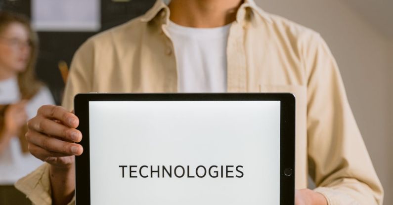
Geospatial technologies have revolutionized the way we understand and interact with the world around us. From GPS navigation systems to geographic information systems (GIS), these tools have become essential in a wide range of industries, including urban planning, environmental management, and disaster response. In the field of education, incorporating geospatial technologies into geographic teaching can provide students with valuable skills and insights that will prepare them for the challenges of the 21st century.
Enhancing Geographic Understanding
Geospatial technologies offer a dynamic way to engage students in the study of geography. By integrating tools such as interactive maps, satellite imagery, and geospatial analysis software into the curriculum, educators can bring geographic concepts to life and make them more accessible and relevant to students. These technologies allow students to explore real-world data sets, analyze spatial patterns, and develop a deeper understanding of the interconnectedness of the world around them.
Fostering Spatial Thinking Skills
One of the key benefits of incorporating geospatial technologies into geographic education is the opportunity to foster spatial thinking skills. Spatial thinking involves the ability to visualize and interpret spatial relationships, patterns, and trends, and is an essential skill in many fields, including geography, environmental science, and urban planning. By using geospatial technologies, students can develop their spatial thinking skills by working with maps, analyzing spatial data, and solving real-world problems that require a spatial perspective.
Promoting Hands-On Learning
Geospatial technologies provide students with hands-on learning experiences that can enhance their understanding of geographic concepts and principles. Through interactive mapping exercises, geospatial analysis projects, and fieldwork using GPS devices, students can apply their knowledge in a practical and meaningful way. This hands-on approach not only helps students develop technical skills in using geospatial tools but also encourages them to think critically, collaborate with their peers, and communicate their findings effectively.
Connecting to Real-World Applications
One of the strengths of geospatial technologies is their ability to connect classroom learning to real-world applications. By using tools such as GIS to analyze local environmental issues, map community resources, or track the spread of diseases, students can see how geographic concepts are used in a variety of contexts and industries. This connection to real-world applications can motivate students to engage more deeply with the material, as they see the relevance of their learning to the world around them.
Preparing Students for Future Careers
Incorporating geospatial technologies into geographic education can also help prepare students for future careers in a wide range of fields. As the use of geospatial technologies continues to grow in industries such as urban planning, environmental management, and public health, students with experience in using these tools will have a competitive advantage in the job market. By providing students with opportunities to develop their geospatial skills and knowledge, educators can help them build a strong foundation for future success in a variety of careers that require a spatial perspective.
Encouraging Lifelong Learning
By incorporating geospatial technologies into geographic education, educators can also encourage students to become lifelong learners who are curious about the world around them. Geospatial technologies provide students with the tools they need to explore new places, analyze complex data sets, and make informed decisions about the world they live in. By fostering a sense of curiosity and exploration through the use of geospatial technologies, educators can inspire students to continue learning about geography and related fields long after they leave the classroom.
Embracing the Future of Geographic Education
As we look to the future of geographic education, it is clear that geospatial technologies will play an increasingly important role in shaping how students learn about the world around them. By incorporating these tools into the curriculum, educators can enhance geographic understanding, foster spatial thinking skills, promote hands-on learning, connect classroom learning to real-world applications, prepare students for future careers, and encourage lifelong learning. By embracing the potential of geospatial technologies, educators can inspire the next generation of geographers, urban planners, environmental scientists, and GIS professionals to explore, analyze, and understand the world in new and exciting ways.